Philip's Road Map France and Belgium
(Autor) Philip's Maps'THE CLEAREST AND MOST DETAILED MAPS OF EUROPE' David Williams MBE, CEO Gem Motoring Assist The map for navigating in France and Belgium: - Main scale super-clear 1:1,00,000 (16 miles to 1 inch) - Fully updated - Scenic routes highlighted - Maps on both sides - more for your money - City plans: Bordeaux, Boulogne, Brussels, Calais, Lyons, Marseilles and Paris - The important information for motoring: motorways (toll, pre-pay and free), mountain passes, railways, road numbers (European and local), distances between towns, - Fully indexof place names - Major city location maps - All the places of interest for your trip: from castles, historic houses, beaches and national parks to theme parks, places of worship and ancient monuments - includes Corsica In fact, everything you need for your trip to France and Belgium
Philip's Maps
Philip's Maps is a renowned cartographer known for creating detailed and accurate maps of various regions around the world. Their most notable works include maps of cities, countries, and continents, which are highly regarded for their precision and clarity. Philip's Maps has made significant contributions to the field of geography and navigation through their meticulous attention to detail and dedication to producing high-quality maps. Their work has had a lasting impact on the world of cartography and has become an invaluable resource for travelers, researchers, and historians. One of their most famous works is the World Atlas, which remains a staple in libraries and educational institutions worldwide.
Other related
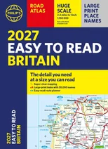
Philip's 2027 Easy to Read Road Atlas of Britain (A4 Paperback)
The detail you need at a size you can read
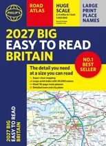
2027 Philip's Big Easy to Read Britain Road Atlas (A3 Paperback)
The detail you need at a size you can read
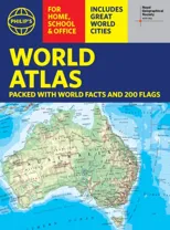
Philip's RGS World Atlas (A4)
with Global Cities, Facts and Flags
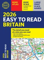
2026 Philip's Easy to Read Road Atlas of Britain
(A4 Paperback)