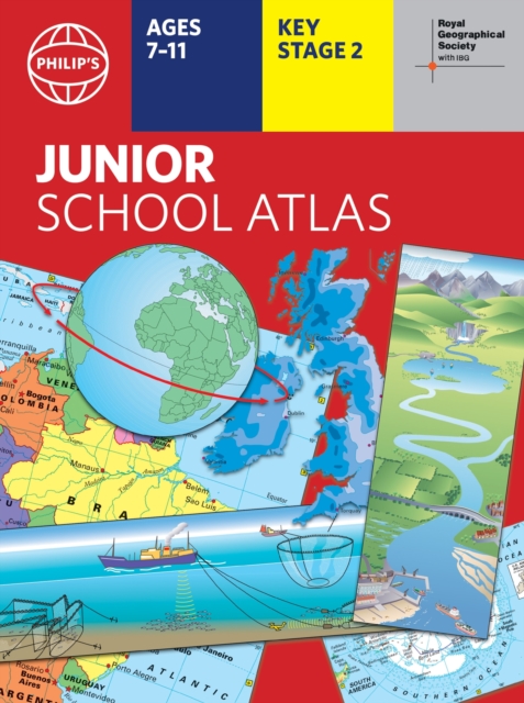
Philip's RGS Junior School Atlas
12th edition PB
(Author) Philip's MapsThe 12th edition of the market-leading atlas for primary school pupils, Philip's RGS Junior School Atlas has been fully revised and updated with all the latest facts and curriculum requirements. - The essential atlas for primary schools with clear and easy-to-follow maps and diagrams - updated for 2024/2025 - Published in association with the Royal Geographical Society - Recommended for Key Stage 2 of the National Curriculum - and all 7-11 year olds - An excellent introduction to mapping concepts such as scale, direction, symbols, longitude and latitude - 22-page Britain and Ireland section with clear thematic charts, diagrams and large-scale regional maps - 22-page section on The World, with political maps - and thematic treatment of key themes, from volcanoes and earthquakes to transport and tourism - Continents section with physical and political maps - Easy-to-follow map references and 1,000-place index The introductory section describes the meaning of scale, how to measure distances using the maps, and explains the symbols on the maps. The following section is devoted to the United Kingdom and Ireland. Thematic maps cover topics such as mountains and rivers, climate and weather, population and cities, farming and fishing, industry and energy, transport, tourism and conservation. The rest of the atlas is made up of world thematic maps and world continental maps. Included are topics such as the world's climate, vegetation, agriculture, energy sources, and environmental concerns, such as global warming. A simple letter-figure index completes the atlas. Available in both Hardback and Paperback editions.
Philip's Maps
Philip's Maps is a renowned cartographer known for creating detailed and accurate maps of various regions around the world. Their most notable works include maps of cities, countries, and continents, which are highly regarded for their precision and clarity. Philip's Maps has made significant contributions to the field of geography and navigation through their meticulous attention to detail and dedication to producing high-quality maps. Their work has had a lasting impact on the world of cartography and has become an invaluable resource for travelers, researchers, and historians. One of their most famous works is the World Atlas, which remains a staple in libraries and educational institutions worldwide.
Other related
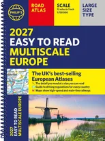
Philip's 2027 Easy to Read Multiscale Road Atlas of Europe
A4 Paperback
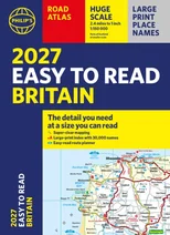
Philip's 2027 Easy to Read Road Atlas of Britain (A4 Paperback)
The detail you need at a size you can read
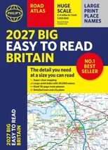
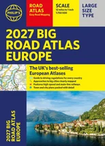
2027 Philip's Big Easy to Read Britain Road Atlas (A3 Paperback)
The detail you need at a size you can read
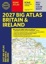
Philip's 2027 Big Road Atlas of Britain and Ireland
with Natural Landscape Contouring