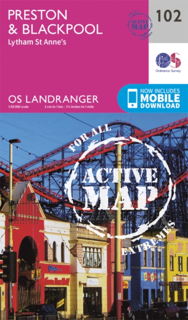
Preston & Blackpool, Lytham
102
(Author) Ordnance SurveyDiscover Lancashire from Blackpool and its world-famous illuminations to the Forest of Bowland. Uncover Preston’s rich heritage or stroll along the historic pier and sandy beaches of the twin towns of Lytham and St Anne’s. - See the Blackpool lights, promenade along South Pier and see the famous Opera House & Winter Gardens - Explore historic Preston Dock, once Europe’s largest inland dock, and take the Ribble Steam Railway - Walk, hike and cycle along the Lancashire coast and through the Fylde peninsula OS Landranger Active Maps: - 1:50,000 scale (2 cm to 1 km – 1¼ inches to 1 mile). - Laminated with a weatherproof finish, also suitable for dry-wipe pens. - Covers larger area in less detail. - Ideal for long distance walking, cycling, family days out and more. - Includes roads, rights of way, permissive paths and bridleways, plus essential visitor information. - Free digital download included. - Other Ordnance Survey Landranger maps of Lancashire include Blackburn & Burnley map 103 and Kendal & Morecambe map 97.
Ordnance Survey
Ordnance Survey is a renowned British mapping agency, known for its meticulous cartography work. Their most famous work includes the creation of highly detailed maps of the United Kingdom, which have become invaluable resources for hikers, explorers, and researchers. Their precision and accuracy have set the standard for modern map-making.
Other related
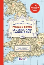
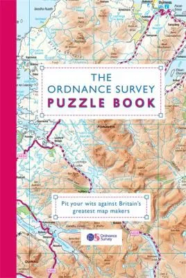
The Ordnance Survey Puzzle Book Legends and Landmarks
Pit your wits against Britain's greatest map makers from your own home!

The Ordnance Survey Journey Through Time
From the Sunday Times bestselling puzzle series!

The Ordnance Survey Great British Treasure Hunt
Can you solve over 350 clues on a puzzle adventure from your own home?
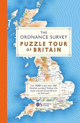
The Ordnance Survey Puzzle Tour of Britain
A Puzzle Journey Around Britain From Your Own Home!